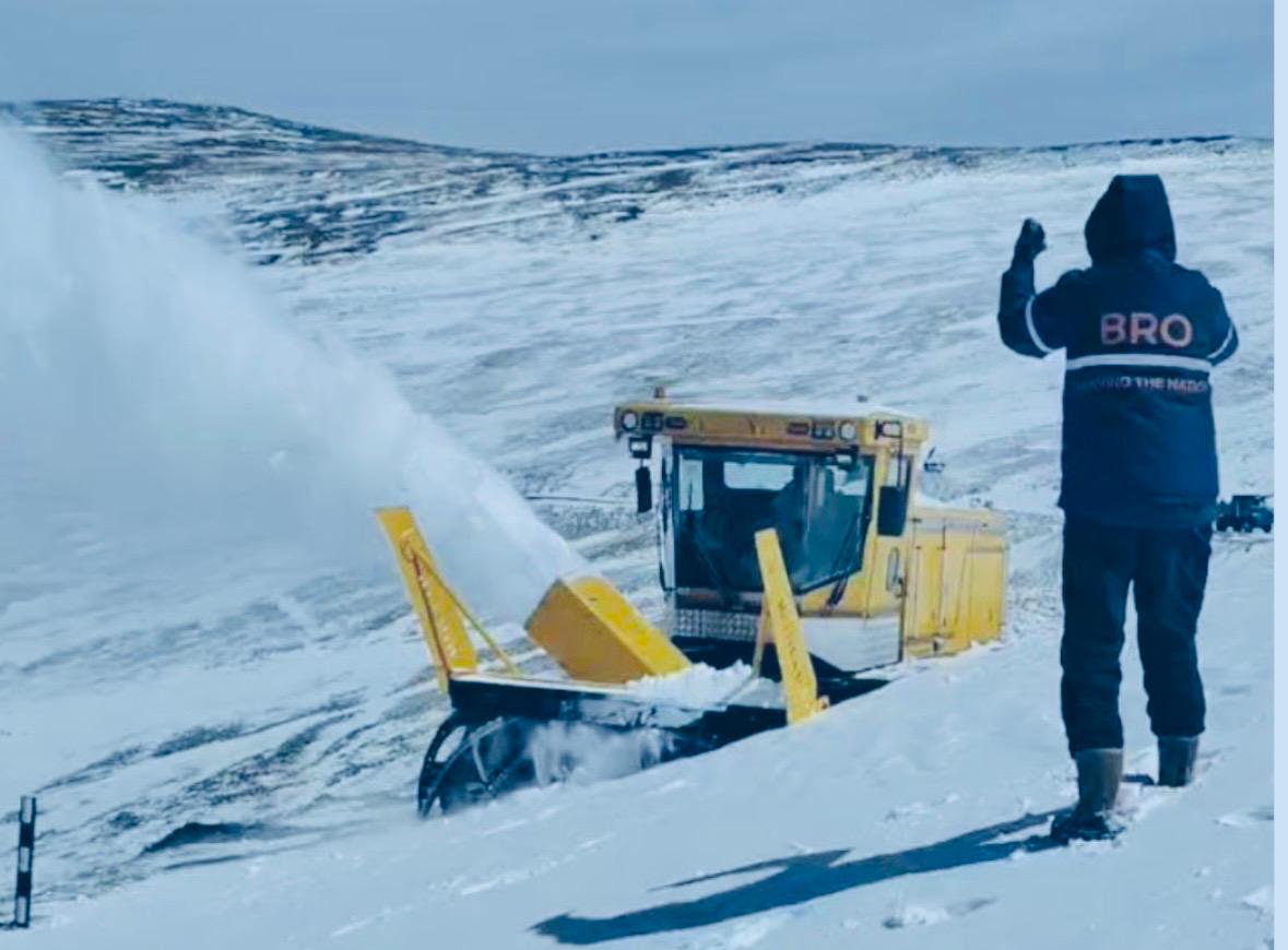
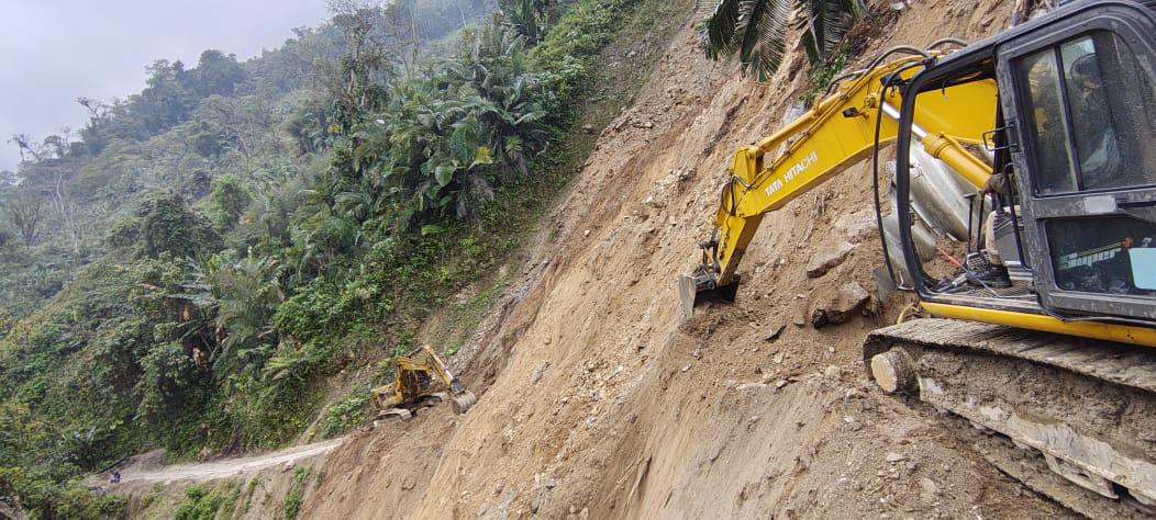
 Photo of how BRO was building the road to Mig-la. (Photo of Border Roads Oorganizaton.)
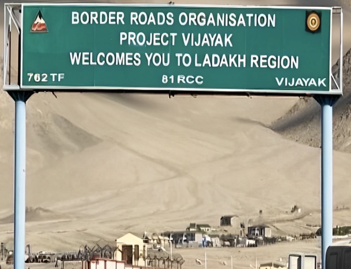
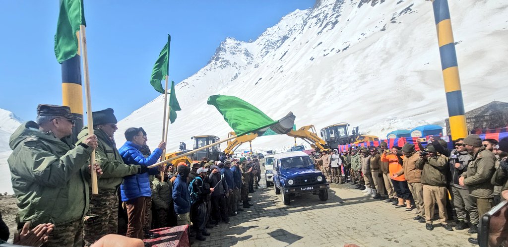
New Delhi: The Border Roads Organisation has constructed a motorable road at 19,400 feet (5,913 metres) at Mig La Pass in Ladakh, surpassing its own previous record set at Umling La Pass in 2021, where a road was built at 19,300 feet.
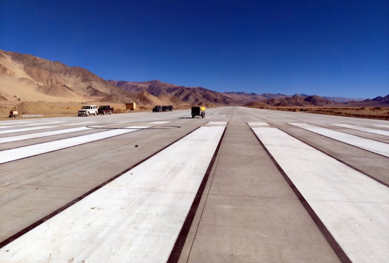
The road forms part of the Likaru-Mig La-Fukche axis and connects Likaru village with the Fukche airfield, located approximately three kilometres from the Line of Actual Control with China. The project aims to enhance military logistics and improve connectivity to forward areas in eastern Ladakh's Changthang region.
"Constructing a road at this height is not just a technological challenge but a symbol of national will and commitment to infrastructure development in remote areas," the director general of the BRO, Lieutenant General Raghu Srinivasan, said.
Strategic significance
The Fukche airfield, situated at 13,000 feet, was reactivated in 2008 after remaining dormant since the 1962 India-China war. The road now provides year-round surface connectivity to this critical military outpost, which had previously relied primarily on air support.
According to the Indian Army, the route represents "the third vital axis from Hanle to Fukche" and is expected to facilitate faster deployment of troops and equipment in the region. The road also aims to boost tourism and support local communities in what the government calls India's "first villages" – settlements closest to the international border.
The project is part of India's broader infrastructure development programme along its northern borders, which has accelerated since border tensions with China escalated in 2020. The Galwan Valley clash in June 2020, which resulted in casualties on both sides, prompted both countries to reinforce their positions along the 3,488-kilometre LAC.
Engineering challenges
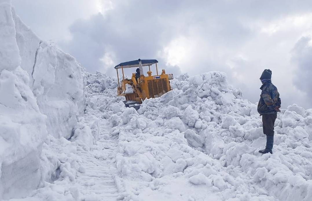
Construction at such altitudes presents formidable technical obstacles. Temperatures at Mig La Pass drop to minus 40 degrees Celsius during winter, while oxygen levels are approximately 50 per cent lower than at sea level. The thin atmosphere affects both workers and machinery, significantly reducing equipment efficiency and requiring specialized construction techniques.
The terrain in eastern Ladakh is characterized by loose soil, glacial formations and extreme weather variability. The construction season is limited to a few months each year when temperatures permit road-building activities.
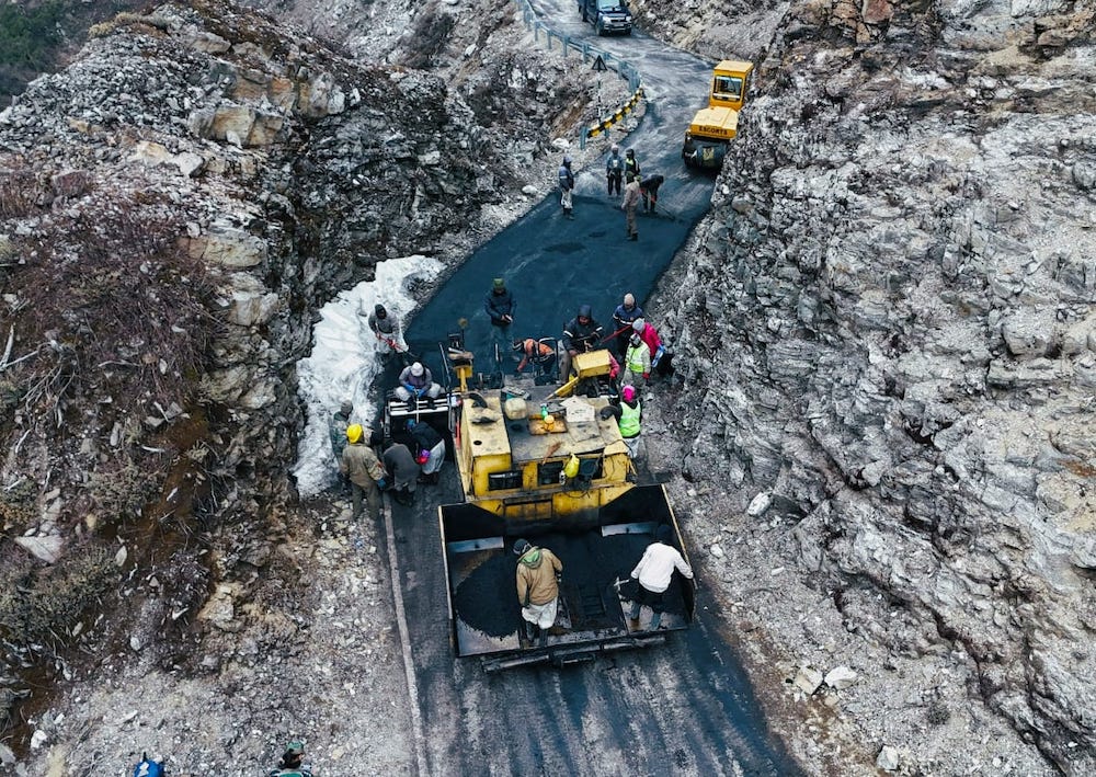
The BRO, which operates under the ministry of defence, employs a mix of military personnel and civilian workers on such projects. The organisation is responsible for developing and maintaining road networks in India's border areas and territories deemed strategically sensitive.
Regional context
The Changthang plateau, where Mig La Pass is located, covers much of eastern Ladakh and extends into Tibet. The region has been a focal point of India-China border tensions, with both countries maintaining significant military presence along the contested boundary.
India has been rapidly developing border infrastructure in recent years, constructing roads, bridges and tunnels to improve military mobility. China has maintained extensive road networks on its side of the LAC for several decades, giving it a logistical advantage that India has sought to address.
The new road is expected to reduce travel time to Fukche considerably, though exact figures were not provided by defence officials. Previously, access to the area was limited to helicopter operations during much of the year.
Local residents in the Changthang region, primarily nomadic herders and small farming communities, are expected to benefit from improved connectivity, though the sparse population means the road's primary function remains strategic rather than civilian.