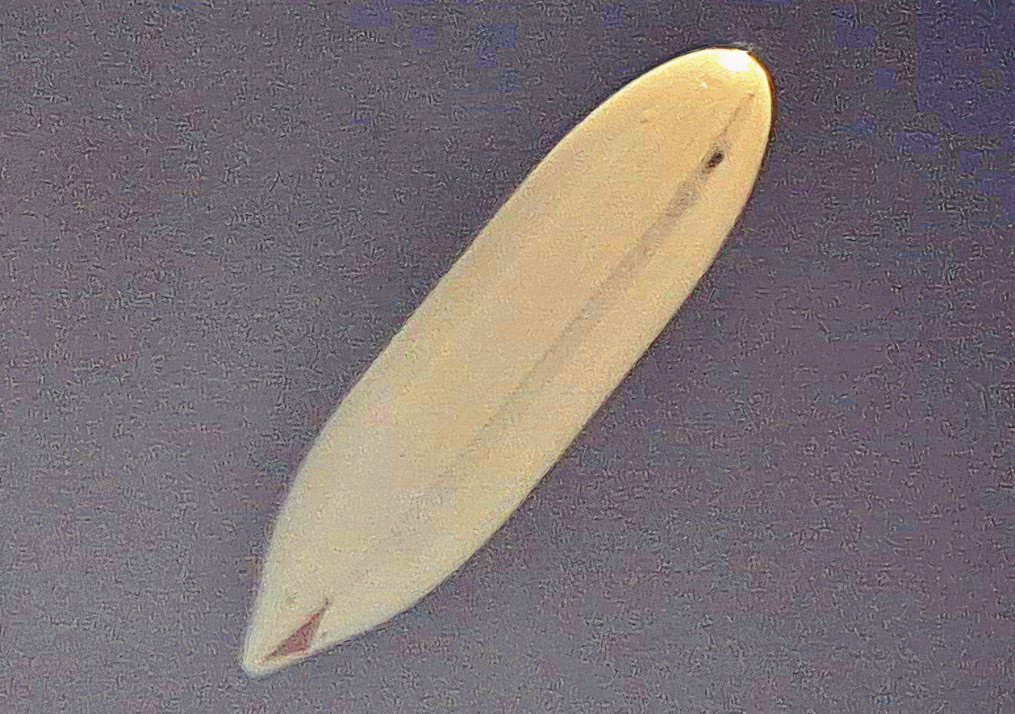
New Delhi: The Defence Research and Development Organisation (DRDO) has successfully flight-tested its indigenously developed High-Altitude Platform (HAPS), taking the lighter-than-air system to 21 km above mean sea level, the defence ministry said on Tuesday.
The experimental flight stayed at about 20 km for more than 30 minutes before ground controllers commanded it to descend. The system was recovered and its flight data analyzed. Real-time video and other vehicle parameters reached the Ground Control Station throughout the flight and, the ministry said, showed the intended performance.
The platform carried an inertial measurement unit, a Global Positioning System receiver, onboard cameras, an altitude control mechanism and other sub-systems. The trial was coordinated with the Indian Air Force, the Centre for Military Airworthiness and Certification (CEMILAC), the Directorate General of Civil Aviation, the Airports Authority of India and other civil authorities.
The Aerial Delivery Research and Development Establishment (ADRDE) in Agra is designing and developing the airship as a long-endurance stratospheric surveillance platform.
The defence minister, Rajnath Singh, congratulated DRDO, the IAF, public sector undertakings and industry. He described the trial as an important milestone towards a long-endurance stratospheric airship under the Aatmanirbhar Bharat (self-reliance) drive. The defence secretary, Rajesh Kumar Singh, who also heads the Department of Defence Research and Development and DRDO, congratulated the teams involved.
Background
The flight builds on the maiden trial of DRDO's Stratospheric Airship Platform on May 3, 2025, at Sheopur in Madhya Pradesh. That airship reached about 17 km during a 62-minute flight and validated systems such as envelope pressure control and emergency deflation. The latest test took the platform roughly 4 km higher and held it at altitude for about half an hour.
Why it matters
Stratospheric airships are meant to fill the gap between high-altitude drones, which fly at about 12 km, and low Earth orbit satellites, which operate 500 km to 2,000 km above the Earth. They can stay over one area for long periods at lower cost than satellites, making them useful for border surveillance, communications and disaster response.
Separately, media reports have said the IAF’s Directorate of Operations (Remote) is steering an airship-based high-altitude pseudo-satellite programme, estimated at ₹15,000 crore. The ministry has not given a timeline for an endurance flight or for induction.