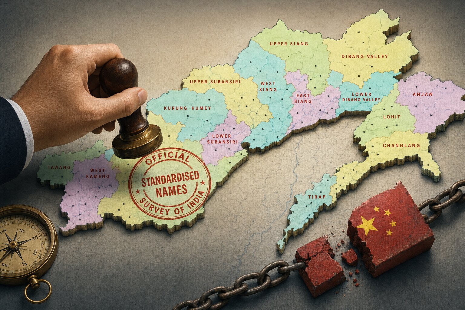
 Illustration for representation. (© India Sentinels 2026–27)
New Delhi: India has formally incorporated standard names for 27 places and geographical features in Arunachal Pradesh into the Survey of India’s official maps, a step that comes as Beijing persists with a decade-long campaign to impose Chinese names on locations across the border state.
The Ministry of Home Affairs said on August 7 that the exercise, carried out in consultation with the Arunachal Pradesh government, was meant to ensure accurate recognition of the locations and to build greater public awareness of them. Officials described it as a measured administrative step rather than a reactive one, though its timing and context leave little doubt about the message it is intended to send to Beijing.
The list covers a mix of terrain: 21 land areas, four mountain passes, one lake and one war memorial. Among the places identified are Longju, Maja, Bisa, Dhan Bari, Jairampur, Ramnagar, Jaswant Garh, Shivaji Nagar and Kamlang Nagar, alongside the passes Dzo-la, Riza-la, Pukur-la and Thag-la, the lake Sambho Sarovar, and the Sher-e-Thapa Memorial.
The remaining land areas named include Pritnagar, Buddhamandir, Teritnagar, Sagar, Padma, Jyotinagar, Baisakhi, Chhota Ropuk, Bara Ropuk, Bara Kundun, Chhota Kundun and Sunpura.
One name on the list carries particular historical weight. Longju, close to the Line of Actual Control in the eastern sector, was the site of one of the earliest armed clashes between Indian and Chinese forces, in August 1959 – three years before the two countries fought a full-scale war along the Himalayan frontier. Its formal inclusion in the updated Survey of India records is being read by observers as a reminder that India regards the area and its history, as unambiguously its own.
The Survey of India, the country’s oldest scientific department and its national mapping authority, maintains the government’s official cartographic and geospatial records. Officials said the newly identified names have now been folded into its mapping framework for Arunachal Pradesh and are available on the department's website, and that the updated records are expected to help with administrative planning, infrastructure work and geospatial tracking in remote border districts, where accurate mapping has long posed a challenge.
A long-running contest over names
The naming exercise is best understood against the backdrop of China’s own, far more frequent efforts to rename places in the state. Beijing calls Arunachal Pradesh “Zangnan”, or southern Tibet, and considers it part of its territory – a position New Delhi has never accepted.
Since 2017, China’s Ministry of Civil Affairs has periodically issued lists of what it terms standardized names for locations in the state: six names in 2017, 15 in 2021, 11 in 2023, 30 in 2024 and 27 more in 2025, the last of these covering 15 mountains, four passes, two rivers, one lake and five inhabited areas.
India has rejected every one of these lists. After the 2025 batch, New Delhi called the exercise “vain and preposterous”, arguing that assigning invented names to Indian territory could not alter its legal status.
The external affairs minister, S. Jaishankar, made much the same point after an earlier round of renaming, asking rhetorically whether changing the name of someones house could make it one's own, and insisting that Arunachal Pradesh "was, is, and will remain" an Indian state.
Beijing did not relent in 2026, issuing a fresh set of names that drew another rebuke from the external affairs ministry in April, which dismissed them as fictitious and said manufacturing territorial narratives through cartography could not change the ground reality of Indian sovereignty. China, meanwhile, maintains that naming geographical features in what it regards as its own territory is a straightforward exercise of sovereign rights – a position that has turned nomenclature into a recurring, low-intensity front in the wider boundary dispute.
That dispute runs across the western, middle and eastern sectors of the roughly 3,500-kilometre India-China frontier, with Arunachal Pradesh forming the principal point of contention in the east.
India administers the state as a full-fledged part of the Union, with its own elected government and representation in Parliament, and has consistently rejected Beijing’s claims and the various attempts – through maps, names and official statements – to lend those claims a veneer of legitimacy.
Seen in that light, the latest Survey of India update is less a one-off bureaucratic notification than another entry in a long-running paper war, one in which both sides appear to have concluded that names on a map, however small the places involved, are worth contesting.