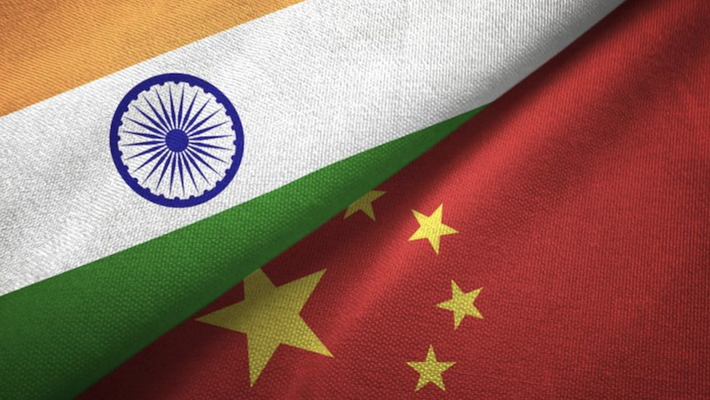
New Delhi: Days before the G20 summit in which the Chinese president, Xi Jinping, is expected to visit the Indian capital, Beijing has released its official “standard map” of the People’s Republic of China showing parts of India’s territories as China’s. In the map, India’s state of Arunachal Pradesh in the northeast and Aksai Chin in Ladakh in the north have been shown as Chinese territories.
Apart from this, Taiwan, which China claims to be its territory and threatens to even use force to annex it with the mainland, and the disputed South China Sea, where China has built several artificial islands, have been included in the map. This is in line with Beijing’s claims over the “nine-dash line” that includes a large part of the disputed sea.
However, China didn’t stop there. It has also included Russia’s Bolshoy Ussuriysky Island on the Amur river as its territory despite a 2008 treaty between Moscow and Beijing that divided the island between the two countries.
According to China Daily, a Beijing mouthpiece, China’s ministry of natural resources released the new map during the celebration of Surveying and Mapping Publicity Day and the National Mapping Week at Zhejiang province’s Deqing county, on Monday.
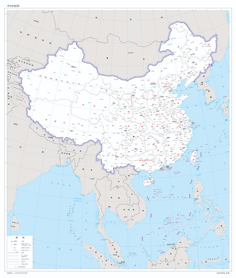 China’s new “standard map” of the country. (Photo: China Daily)
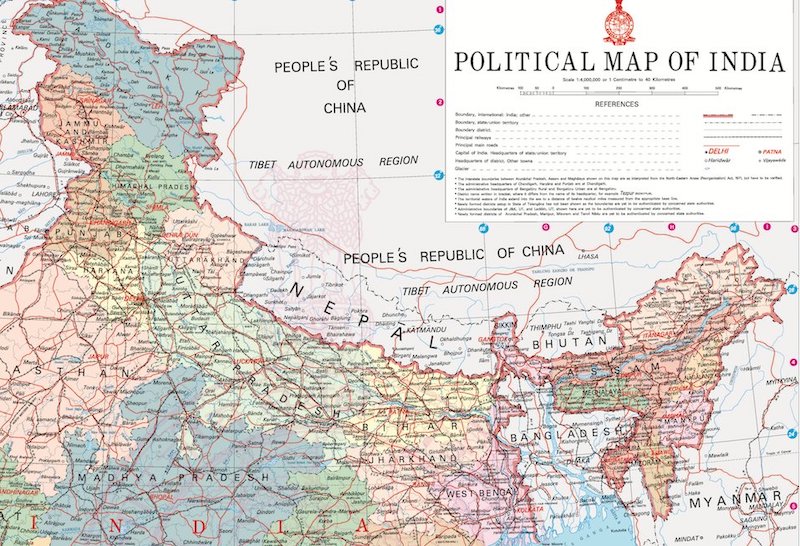 India’s political map showing Aksai Chin and the state of Arunachal Pradesh within the Union of India.
This comes after China renamed 11 places in Arunachal Pradesh in its language with standard Chinese and Tibetan characters, in April, citing them as parts of so-called South Tibet. Beijing indulged in similar behaviour twice earlier when it renamed the Indian state’s six places in 2017 and a further 15 in 2021.
Read also: China resorts to old trickery, again ‘renames’ Arunachal sites
India dismisses China ‘absurd’ map
On Tuesday, India’s foreign minister, S Jaishankar, dismissed China’s new map as “absurd”. During an interview with NDTV, Jaishankar said China has a “habit” of releasing such maps. Calling the map “absurd” he said adding other countries’ territories in its maps meant nothing.
Jaishankar said, “China has put out maps with territories not theirs … old habit [sic]. Just by putting out maps with parts of India ... This doesn’t change anything. Our government is very clear about what is our territory. Making absurd claims does not make other people’s territories yours [sic].”
Earlier, India’s foreign secretary, Arindam Bagchi, tweeted an official statement stating New Delhi’s reaction and response. Baghchi’s statement read: “We have today lodged a strong protest through diplomatic channels with the Chinese side on the so called 2023 ‘standard map’ of China that lays claim to India’s territory.
We reject these claims as they have no basis. Such steps by the Chinese side only complicate the resolution of the boundary question.”
Our response to media queries on the so called 2023 “standard map” of China:https://t.co/OZUwNRNrit pic.twitter.com/sAmy20DEa6
— Arindam Bagchi (@MEAIndia) August 29, 2023
Read also: China unilaterally tried to alter the status quo
China says ‘don’t overreact’
China tried to play down the issue but in an unyielding manner. Responding to India’s objection over China’s new “standard map” showing Indian territories as Chinese, the Chinese foreign ministry spokesman, Wang Wenbin, said, “It is a routine practice for China to exercise sovereignty in accordance with the law. We hope relevant sides stay objective and calm, and refrain from over-interpreting the issue.”
India and China have been locked in a bitter military stand-off in eastern Ladakh for over three years now after Chinese forces entered Indian territory by crossing the line of actual control and squatting on it. It led to a deadly clash between the Indian Army and the People’s Liberation Army, in June 2020, in which over 20 Indian soldiers and an unknown number of Chinese troops were killed.