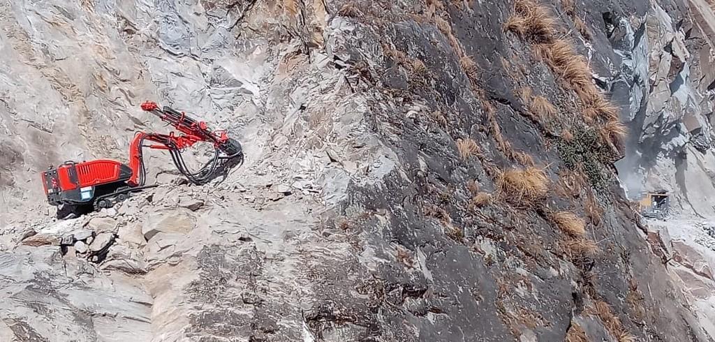
Earlier this month, the defence minister, Rajnath Singh, inaugurated the strategically crucial road of 80 kilometres from Tawaghat to Lipulekh in Pithoragarh Distt in Uttarakhand. Passing through an extremely difficult terrain reducing pilgrims time from three weeks to one week for a to visit Kailash Mansarovar the step was much welcomed.
The road now constructed from Tawaghat up to Lipulekh has followed the same alignment of a previously existing track and was to be completed in five years by 2013 by Border Road Organisation (BRO). However, due to the hazardous terrain and road passing through an altitude ranging from 6,000 to 17,000 feet above sea level, the progress on the construction was extremely slow. To help with the same, 2019 onwards Indian Air Force’s Chinook helicopters were pressed in, to ferry heavy equipment and machinery.
This proved to be a game changer and hastened up the work.
The road constructed is not only important to India for the movement of pilgrims to Kailash Mansarover, tourism and trade but has significant strategic importance for logistic build up and fast induction of troops against China. The Nepalese government has raised strong objections on this project claiming that the road passes through their territory and India’s action is unilateral.
A resolution recently passed by the Nepalese government in the cabinet says that Kalapani, Lipulekh and Limpiyadhura all are part of Nepal and accordingly a political map to this effect has also been released. Nepal also claims that India clandestinely shows these areas in their political map released last year. Whereas Indian government is very firm that the road is well within Indian territory and followed the same alignment of the earlier existing track used by pilgrims visiting Kailash Mansarover.
Considering that Nepal has never in the past raised any objections or observations on this track being used by pilgrims visiting Kailash Mansarover there is a strong feeling within India that this may be due to the pressure tactics exerted by China, not just against India but also to keep the fragile unity in ruling communist party intact.
Around last week, the Indian Army chief, General Manoj Mukund Naravane, had said that Nepal’s strident objections to a new road being built in Uttarakhand is “at the behest of someone else”making the hint clear towards China. Experts confirm that the political map which was released last year by India was necessitated due to the bifurcation of the state of Jammu & Kashmir in two UTs after the abrogation of Article 370 and 35A, and did not alter in any way the boundary with Nepal.
India and Nepal have earlier resolved most of the border disputes, however Kalinadi and Lipulekh area continue to be the bone of contention. Both the countries claim that Kalinadi, Lipulekh Area and Limpiyadhura fall in their territory. Nepal advocates that the entire area falls in their Dharchula District and claims to have historical evidence in this regard.
India on the other hand feels that Lipulekh is a trijunction between India, China and Nepal and the road runs west of Kalinadi and falls into Pithoragarh District of India.
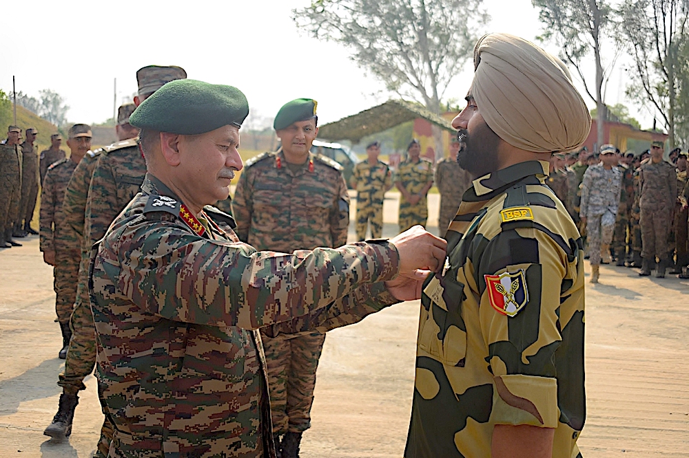
Nepal remains one of India’s most important neighbours in South Asia with historical, cultural, religious and social ties. This also becomes a sensitive issue with about 15,000 Gorkha soldiers serving in various regiments in Indian Army any point of time. Given the importance of the border issue and India’s relations with Nepal, the foreign secretaries of both the nations will be meeting after Lockdown of Covid-19 to resolve the issue amicably taking all the aspects into consideration.
Note: This article is produced with expert opinion from Maj Gen Ashwani Siwach, who retired from Indian Army in 2014 after serving for almost 37 years. He has vast vast experience of serving in Counter Terrorism and Counter Insurgency environment both in J&K and the northeast.
Disclaimer: The views expressed in the article are the author’s own and don’t necessarily reflect the views of India Sentinels.
Follow us on social media for quick updates, new photos, videos, and more.
X: https://x.com/indiasentinels
Facebook: https://facebook.com/indiasentinels
Instagram: https://instagram.com/indiasentinels
YouTube: https://youtube.com/indiasentinels
© India Sentinels 2020-21